Post provided by Sam Nicol (He/Him)
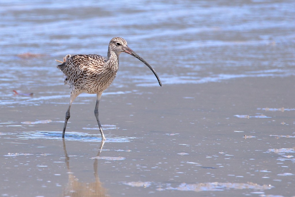
Are you an eBirder who loves waders? Do you ever wonder where the birds that you see go after you’ve studiously uploaded your counts to the database? It’s a good question, and in the past, it has been surprisingly hard to answer. In this post, Sam Nicol discusses how citizen science is being used to investigate bird migration.
The challenges of tracking whole populations
Although birds are counted once a year to monitor their population sizes, this snapshot can’t tell us where birds go throughout the rest of the year. One way to find out where birds go is to tag them, for example with leg bands or satellite tags, but this is very hard work, expensive and probably stressful for the birds. On top of that, these kinds of studies can only track individuals, but many bird populations number in the tens of thousands. Highly detailed information on the movement of a few individuals is very useful, but we will never know if those individuals’ trajectories are representative of the movements of the whole population.
Learning about movements from bird watchers
eBird data gives us very different information than annual counts or individual trajectories. Because bird watchers submit checklists whenever they see birds, the checklists tell us where and when birds are at any time, and in theory, we can use eBird lists to track population-level movements like migration in near real time. This has great promise for helping us to understand migration patterns at a level of detail that was unimaginable just a few years ago, but eBird data has challenges, including imperfect counts and a semi-structured survey method.
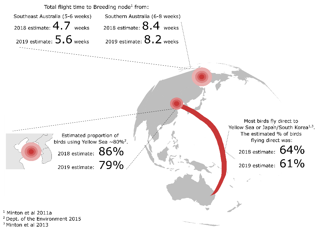
In our study published in Methods in Ecology and Evolution, we developed a novel statistical model to infer population connectivity (i.e. where birds go at the population level) between broad regions for shorebirds migrating along the East Asian-Australasian Flyway. Our study estimates the proportion of the bird population that moves between key regional nodes (e.g. what proportion of birds uses China’s Yellow Sea as a stopover site?), as well as estimating the average number of weeks that birds spend in each region during migration. Crucially, we were also able to adjust for the challenges posed by the eBird data and still obtain good results. Although the eBird data was very noisy, our model successfully replicated key aspects of the migration that were predicted by experts, providing a useful empirical validation of both our models and expert observations.
Knowing where birds go is useful for conservation
By better understanding how shorebird populations are connected, we will be able to understand how changes in one location will affect birds in other places. This will help us to predict the impacts of negative changes like habitat loss, but also to target conservation actions to the places that will lead to the biggest benefits for the species. A better knowledge of bird connectivity can also help connect people, either formally via initiatives like intergovernmental international migratory bird agreements, or informally through the networks of international birdwatching enthusiasts whose efforts are continually changing the way that we understand our fascinating migrants.
Read the full article “FlywayNet: A hidden semi-Markov model for inferring the structure of migratory bird networks from count data”

One thought on “Using citizen science data to track migratory shorebird populations”