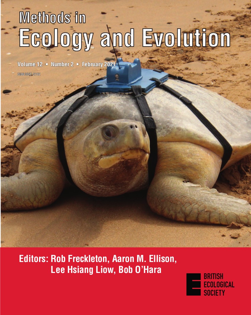
Natator depressus leaving a nesting beach, fitted with an accurate Fastloc-GPS tag. Picture credit: C.J.Limpus.
The cover of our February issue shows a flatback sea turtle (Natator depressus) leaving a nesting beach, fitted with an accurate Fastloc‐GPS tag. In this post, Takahiro Shimada and Mark G. Meekan explain how they analysed turtle tracking data to demonstrate their new method for assessing appropriate sample sizesin the article ‘Optimising sample sizes for animal distribution analysis using tracking data’.
If there is one question I hear over and over again, it’s this: “why, oh why, do you use satellite data instead of ground-based data in your research?” People seem to think that I believe satellite data are better than ground-based data. Do I not value fieldwork? Do I not trust ground-based data? My answer to all of this is: you’ll never catch me preaching that satellite remote sensing can solve the entire data collection gap in ecological monitoring.
Yes, satellite-based techniques can address spatial and temporal domains inaccessible to traditional, on-the-ground, approaches, but I am the first to acknowledge that satellite remote sensing cannot match the accuracy, precision and thematic richness of in-situ measurement and monitoring.
In spite of this, data collected on the ground are currently difficult to use for mapping and predicting regional or global changes in the spatio-temporal distribution of biodiversity (a problem for those of us trying to tackle these kinds of issues). Ground-based data can also be expensive and tend to come from a single annual time period. This makes it difficult to gather information on temporal changes and phenology. Continue reading “In Defence of Satellite Data: The Perfect Companion to Ground-Based Research”