Credit: Food and Agriculture Organization of the United Nations.
Forests, across all ecozones and in all shapes and sizes, are essential for life on earth. Around 80% of the world’s land-based biodiversity call forests home and over 1 billion people, including more than 2,000 Indigenous cultures, rely on forests for food, shelter, energy and income. As with many other ecosystems, forests worldwide are under increasing threat from human activities, with the current rate of deforestation estimated at 13 million hectares per year.
Increased access to satellite imagery and new developments in remote sensing data analyses can support biodiversity conservation targets by stepping up monitoring processes at various spatial and temporal scales. More satellite imagery is becoming available as open data. Remote sensing based techniques to capitalise on the information contained in spatially-explicit species data, such as Global Biodiversity Information Facility (GBIF), are developing constantly. Current free and open data policy will have a dramatic impact on our ability to understand how biodiversity is being affected by anthropogenic pressures, while improving our ability to predict the consequences of changes at different scales.
What is satellite data fusion, and how can it benefit ecologists and conservation scientists? In a new Methods in Ecology and Evolution video, Henrike Schulte-to-Bühne answers this question using whiteboards and questionable drawing skills. The availability and accessibility of multispectral and radar satellite remote sensing (SRS) imagery are at an unprecedented high. However, despite the benefits of combining multispectral and radar SRS data, data fusion techniques, including image … Continue reading Satellite Data Fusion for Ecologists and Conservation Scientists
Our 5th Anniversary Special Feature is a collection of six articles (plus an Editorial from Executive Editor Rob Freckleton) that highlights the breadth and depth of topics covered by the journal so far. It grew out of our 5th Anniversary Symposium – a joint event held in London, UK and Calgary, Canada and live-streamed around the world in April 2015 – and contains papers by Associate Editors, a former Robert May prize winner and regular contributors to the journal.
The six articles are based on talks given at last May’s Symposium. They focus on:
In his Editorial for the Special Feature, Rob Freckleton looks to the future. In his words: “we hope to continue to publish a wide range of papers on as diverse a range of topics as possible, exemplified by the diversity of the papers in this feature”.
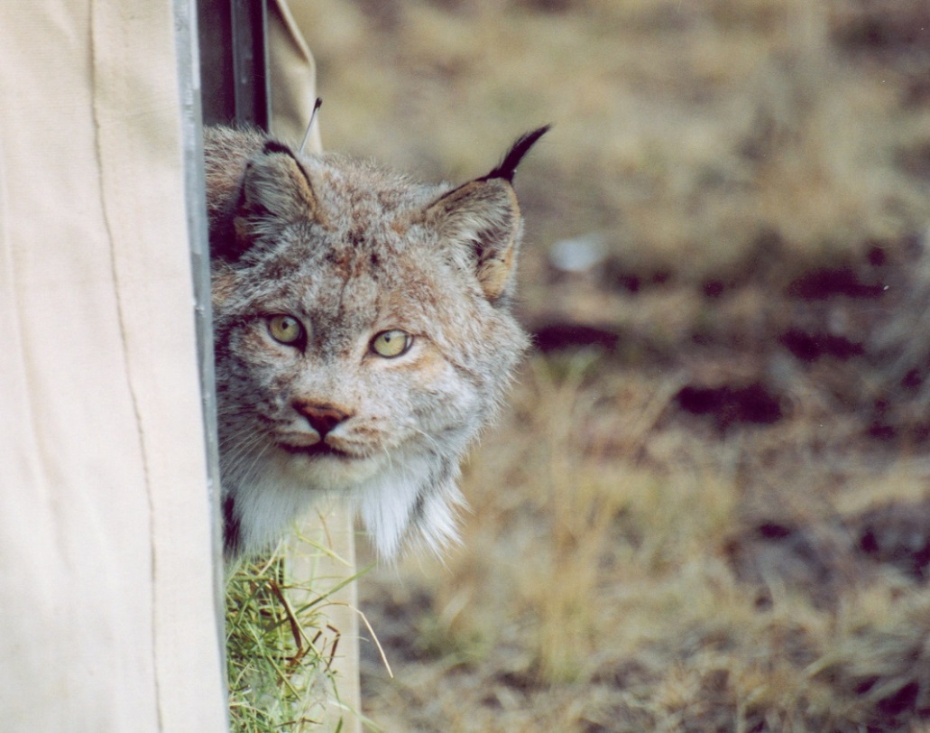
Animal movement is a driving factor underlying many ecological processes including disease transmission, extinction risk and range shifts. Understanding why, when and how animals traverse a landscape can provide much needed information for landscape-level conservation and management practices.
If there is one question I hear over and over again, it’s this: “why, oh why, do you use satellite data instead of ground-based data in your research?” People seem to think that I believe satellite data are better than ground-based data. Do I not value fieldwork? Do I not trust ground-based data? My answer to all of this is: you’ll never catch me preaching that satellite remote sensing can solve the entire data collection gap in ecological monitoring.
Yes, satellite-based techniques can address spatial and temporal domains inaccessible to traditional, on-the-ground, approaches, but I am the first to acknowledge that satellite remote sensing cannot match the accuracy, precision and thematic richness of in-situ measurement and monitoring.
In spite of this, data collected on the ground are currently difficult to use for mapping and predicting regional or global changes in the spatio-temporal distribution of biodiversity (a problem for those of us trying to tackle these kinds of issues). Ground-based data can also be expensive and tend to come from a single annual time period. This makes it difficult to gather information on temporal changes and phenology. Continue reading “In Defence of Satellite Data: The Perfect Companion to Ground-Based Research”