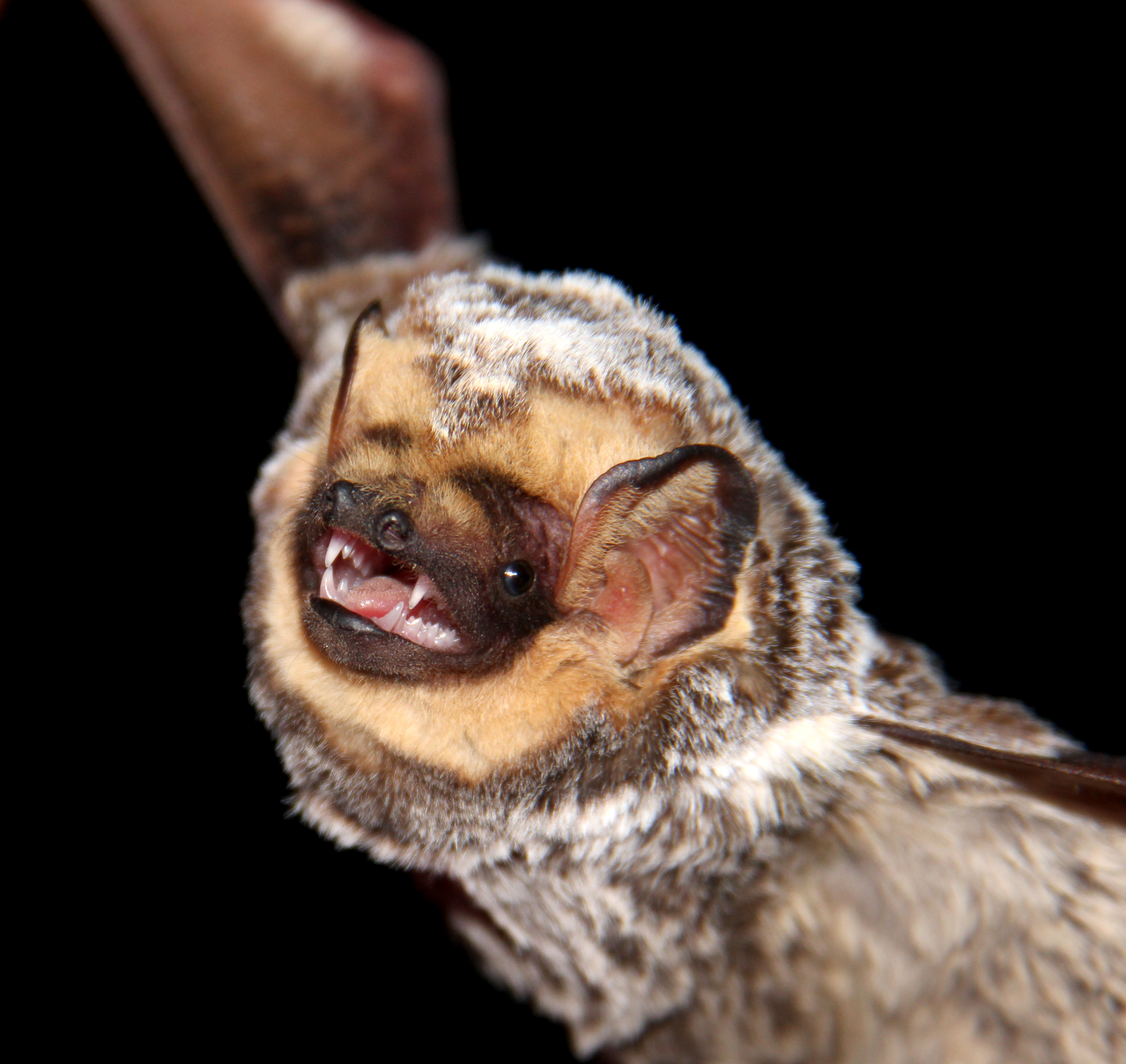
Hoary bat (Lasiurus cinereus). Credit: Veronica Zamora-Gutierrez.
Ecologists have started looking into drones as new tools for wildlife surveys, but how can drone disturbance be minimized in order to produce accurate wildlife counts? In this post, Kayla Kuhlmann describes a drone practice to reduce disruption during acoustic bat surveys as featured in the paper “Miniaturization eliminates detectable impacts of drones on bat activity”, recently published in Methods in Ecology and Evolution.
Weeds are a major threat to biodiversity and agricultural industries globally. New alien plant species are constantly introduced across borders, regions or landscapes. We know that some (such as those listed in the IUCN Global Invasive Species Database) are likely become problematic invasive weeds from experiences elsewhere.
When a weed is first introduced, population growth and spread is typically slow. This ‘invasion lag’ may be due to straightforward mathematics (population dynamics) as well as geography, environmental change or genetics. In any case, the lag period often presents the only window of opportunity where weed eradication or effective containment can be achieved. So, responding to new weed incursions early and rapidly is very important. Anyone who has ever battled with a bad weed infestation in their backyard knows it’s best to get in early and decisively! But decisions about where to target surveillance and control activities are often made under considerable time, knowledge and capacity constraints. Continue reading “Responding to New Weeds Needs Speed: Spatial Modelling with riskmapr Can Help”
Imagine your favourite beach filled with thousands of ducks and gulls. Now envision coming back a week later and finding condos being constructed on that spot. This many ducks in one place surely should indicate this spot is exceptionally good for birds and must be protected from development, right?
A study led by researchers at the University of Southampton has used data collected by volunteer bird watchers to study how the importance of wildlife habitat management depends on changing temperatures for British birds.
Researchers from EPFL and the University of Zurich have developed a model that uses data from sensors worn by meerkats to gain a more detailed picture of how animals behave in the wild.
Advancement in sensor technologies has meant that field biologists are now collecting a growing mass of ever more precise data on animal behaviour. Yet there is currently no standardised method for determining exactly how to interpret these signals. Take meerkats, for instance. A signal that the animal is active could mean that it is moving; alternatively, it could indicate that it is digging in search of its favourite prey, scorpions. Likewise, an immobile meerkat could be resting – or keeping watch.
Mathematicians and conservationists from the UK, Africa and the United States have used machine-learning and citizen science techniques to accurately count wildebeest in the Serengeti National Park in Tanzania more rapidly than is possible using traditional methods.
Evaluating wildebeest abundance is currently extremely costly and time-intensive, requiring manual counts of animals in thousands of aerial photographs of their habitats. From those counts, which can take months to complete, wildlife researchers use statistical estimates to determine the size of the population. Detecting changes in the population helps wildlife managers make more informed decisions about how best to keep herds healthy and sustainable. Continue reading “New Technologies Could Help Conservationists Keep Better Track of Serengeti Wildebeest Herds”
SCR models simultaneously estimate the detection function and density of individual activity centres. A half-normal detection model is generally used.
The estimation of population size is one of the primary goals and challenges in wildlife ecology. Within the last decade and a half, a new class of tools has emerged, allowing us to estimate abundance and other key population parameters in specific areas. So-called spatial capture-recapture (SCR) models are growing in popularity not only because they can map abundance, but also because they can be fitted to data collected from a variety of monitoring methods. For example, the ever increasing use of non-invasive monitoring methods, such as camera trapping and non-invasive genetic-sampling, is one of the reason that makes SCR models so popular.
Imagine you’re the manager of a national park. One that’s rich in endemic biodiversity found nowhere else on the planet. It’s under the influence of multiple human pressures causing irreversible declines in the biodiversity, possibly even leading to the extinction of some of the species. You’re working with a complex system of multiple species and threats, limited knowledge of which threats are causing the biggest declines and limited resources. How do you decide what course of action to take to conserve the biodiversity of the park? This is the dilemma faced by biodiversity managers across the globe.
Expert judgement is used to predict current and future trends for Koala populations across Australia
New technologies provide ecologists with unprecedented means for informing predictions and decisions under uncertainty. From drones and apps that capture data faster and cheaper than ever before, to new methods for modelling, mapping and sharing data.
But what do you do when you don’t have data (or the data you have is incomplete or uninformative), but decisions need to be made?
In real-life situations, it is far more common for decisions to be based on a comparison between things that can’t be judged on the same standards. Whether you’re choosing a dish or a house or an area to prioritise for conservation you need to weigh up completely different things like cost, size, feasibility, acceptability, and desirability.
Those three examples of decisions differ in terms of complexity – you’d need specific expert knowledge and/or the involvement of other key stakeholders to choose conservation prioritisation areas, but probably not to pick a dish. The bottom line is they all require evaluating different alternatives to achieve the desired goal. This is the essence of multi-criteria decision analysis (MCDA). In MCDA the pros and cons of different alternatives are assessed against a number of diverse, yet clearly defined, criteria. Interestingly, the criteria can be expressed in different units, including monetary, biophysical, or simply qualitative terms. Continue reading “Applications of Multi-Criteria Decision Analysis in Conservation Research”