Post provided by JENS FROESE
Disclaimer: this post is NOT about the drug or the TV series, but about invasive alien plants. Yes, even biologists often refer to them as ‘weeds’.
Responding to New Weed Incursions

Weeds are a major threat to biodiversity and agricultural industries globally. New alien plant species are constantly introduced across borders, regions or landscapes. We know that some (such as those listed in the IUCN Global Invasive Species Database) are likely become problematic invasive weeds from experiences elsewhere.
When a weed is first introduced, population growth and spread is typically slow. This ‘invasion lag’ may be due to straightforward mathematics (population dynamics) as well as geography, environmental change or genetics. In any case, the lag period often presents the only window of opportunity where weed eradication or effective containment can be achieved. So, responding to new weed incursions early and rapidly is very important. Anyone who has ever battled with a bad weed infestation in their backyard knows it’s best to get in early and decisively! But decisions about where to target surveillance and control activities are often made under considerable time, knowledge and capacity constraints.
Spatial Risk Models
Spatial models help predict where weed propagules (such as seeds) are most likely to spread to, establish, and persist in the environment. Essentially, they tell us which sites are at risk for weed invasions. They can be useful tools helping land managers make better decisions about targeting early response interventions.
As in any discipline, invasion risk models range from complex and realistic (so data-hungry and time-consuming) to simple, quick and dirty. In our new modelling method – which we introduce in ‘Rapid spatial risk modelling for management of early weed invasions: balancing ecological complexity and operational needs’ – we aimed to strike a balance between ecological complexity and operational needs.
We took an existing modelling framework that is ecologically comprehensive and simplified it. The framework takes into account habitat suitability (where weeds are likely to establish, grow and reproduce) as well as habitat susceptibility (where weed propagules are likely to arrive from known source plants). Both are influenced by variables, or ‘risk factors’, that reflect the environmental conditions a weed needs to grow, reproduce and spread (things like rainfall, land use or road networks).

In our framework these risk factors are all represented by mapped GIS layers. To make numerical predictions about risk (that is, likelihoods), we used Bayesian network models. But, we used them differently to previous applications in invasion biology based on suggestions from the risk research literature. In our method, you simply need to tell the model which risk factors are more important than others, and how certain you are about it.
‘riskmapr’ Web Apps
So that land managers who might want to use our method to model invasion risk don’t have to purchase and learn how to use Bayesian network software, we made everything open source. You can run models, and generate risk maps, via a collection of web apps called riskmapr (geoprocessing tools, suitability model and susceptibility model). The source code is published on GitHub, where it can be downloaded and improved by anyone. All you need to plug in are GIS layers representing your risk factors, the known weed locations from which propagules may spread, and the study area. Our paper and its supporting information contain detailed guidance on how these layers should be prepared, and how to use the apps. We also provide step-by-step instructions for developing the underlying weed invasion risk model.
Mexican Bean Tree and Hudson Pear Case Studies
To see whether our simple models and risk maps could adequately predict what’s really going on during an incursion, we applied them to two weeds in Queensland, Australia. We selected two contrasting species which are actively managed for containment and local eradication by the State’s biosecurity agency. Both had good monitoring data over a couple of years, making them ideal for this test.

Mexican bean tree (Cecropia spp.) is a pioneer species from the Americas which invades disturbed rainforest habitats in tropical or subtropical areas. It grows up to 2 m per year and produces millions of seeds, which are surrounded by soft, sweet flesh and arranged in beautiful finger-like fruit. The earliest detection outside a garden in our data was in 2008.
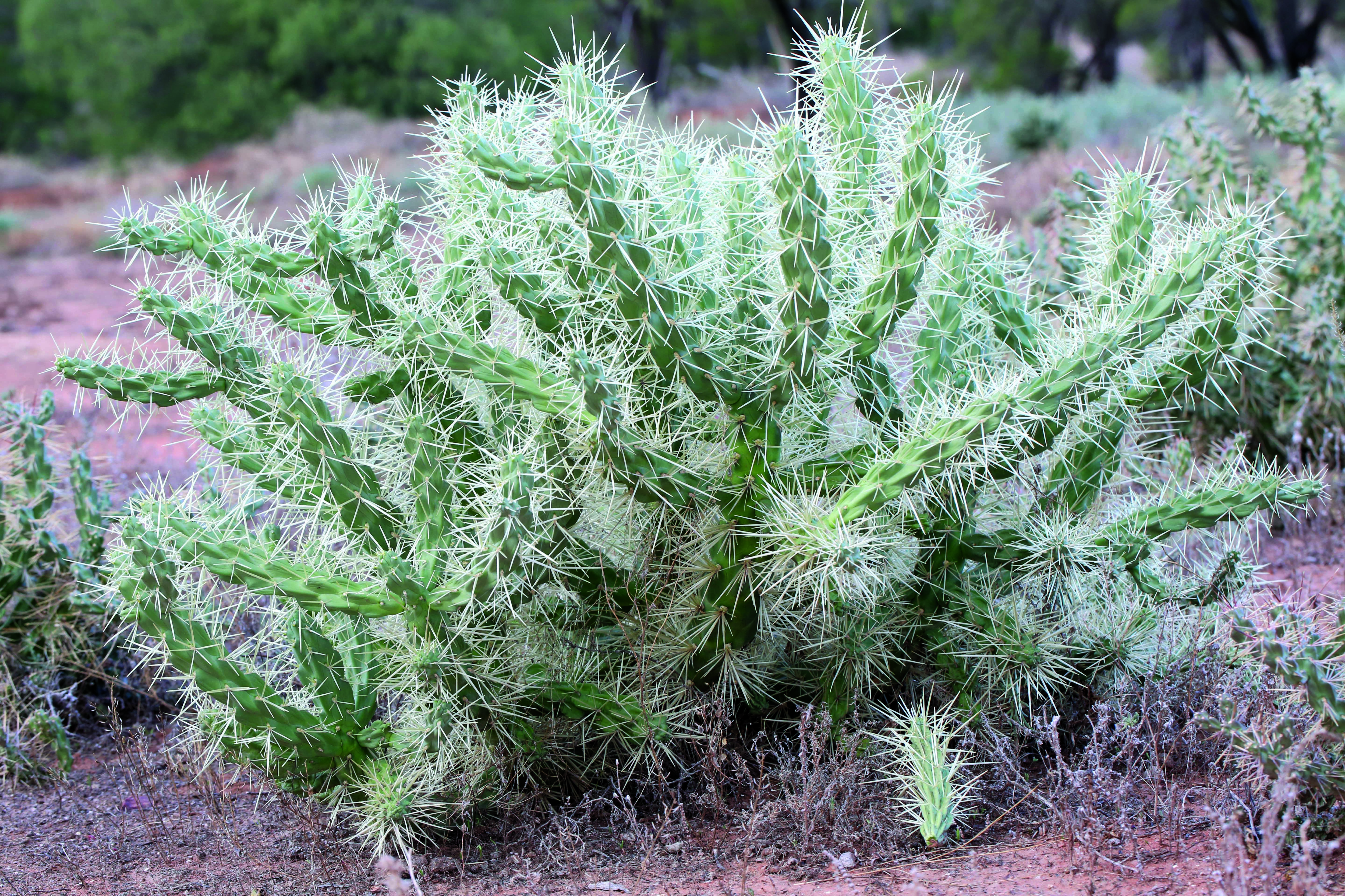
Hudson pear (Cylindropuntia rosea and the similar C. tunicata) is a succulent which also has pretty flowers, but its branches are covered in thousands of nasty barbed spines! Hudson pear can regrow from any small piece that got stuck in a passing animal’s fur (or a car tyre). It’s very difficult to get rid of once established. In Queensland’s semi-arid rangelands, the first naturalized detection in our data was in 2011.
We modelled invasion risk (habitat susceptibility) in annual time steps, always considering only those individuals detected during one year as potential sources of propagules. Then we compared the risk maps against individuals that were subsequently detected in the surrounding area in following years. We found that locations predicted as highly susceptible to invasion were much more likely to actually be invaded by Mexican bean tree and Hudson pear than locations with moderate or low susceptibility. These results suggest that surveillance and control activities can be confidently focused on high risk areas.
From Models to the Field
Of course, our method is not perfect. It’s supposed to be done relatively easily and quickly. Risk models and maps are based on many assumptions, which may turn out to be wrong. Some issues contributing to weed spread, for example when seeds or plants are moved over long distances due to rare events or human interference, are excluded. Perhaps most importantly, decisions in the field about where to target surveillance and control activities need to consider more than just invasion risk. Accessibility, availability and appropriateness of control techniques, and resourcing constraints (including money, people or equipment) are all key factors to consider.
We believe that our comprehensive, yet simple modelling method can help land managers who are responding to new weed incursions in several ways though. Risk maps may be used to direct on-ground resources towards highly susceptible areas. Models can also help structure our understanding of the risk factors and processes driving weed invasions. Our method can support adaptive management, where an initial risk hypothesis is rapidly generated, evaluated against field observations, and on that basis is iteratively updated and reassessed.
To find out more about spatial modelling with riskmapr, read our Methods in Ecology and Evolution article ‘Rapid spatial risk modelling for management of early weed invasions: balancing ecological complexity and operational needs’.
