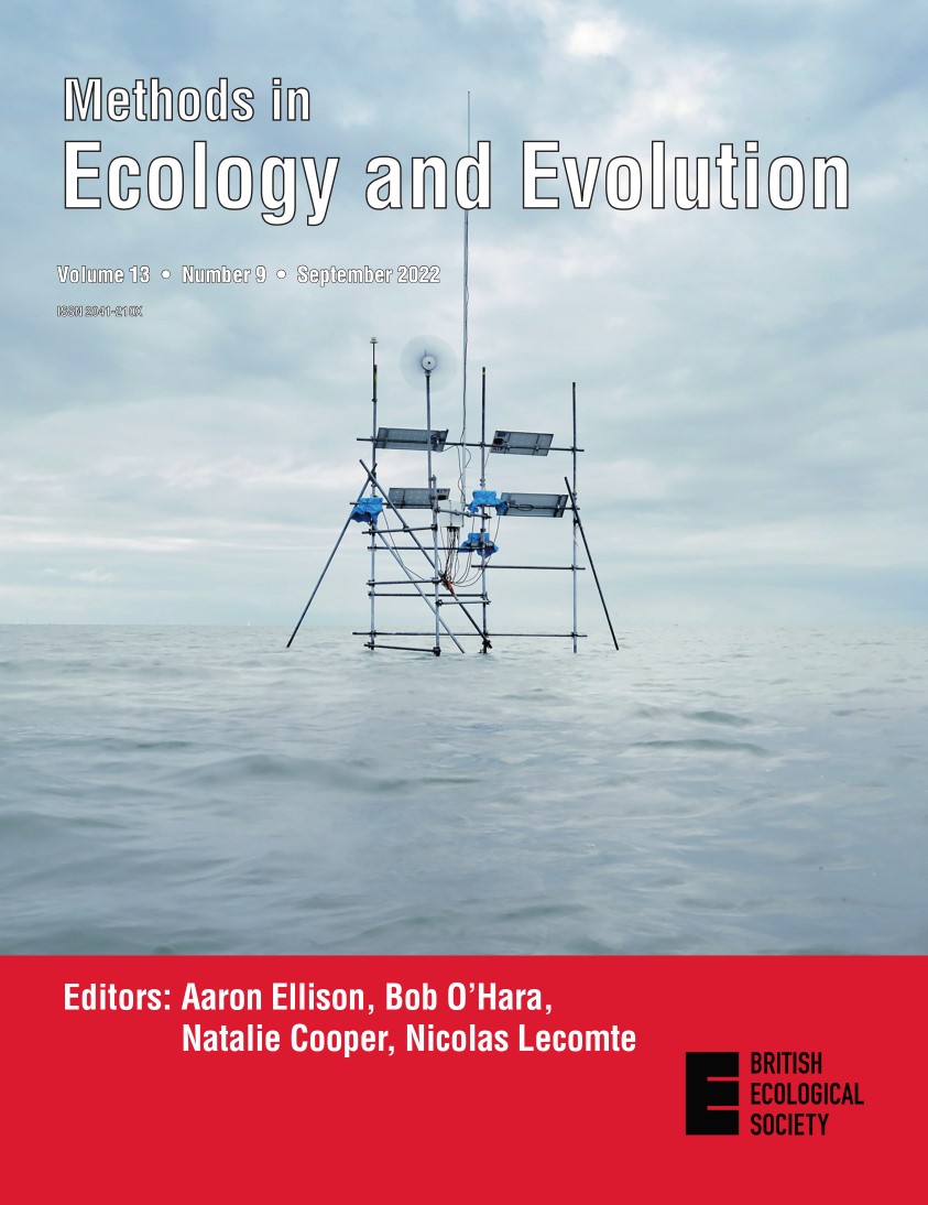
Our September issue is now online! This issue contains 22 articles about the latest methods in ecology and evolution, including methods for using the US National Ecological Observatory Network (NEON), measuring understory vegetation structure, inducing cancer in invertebrates and much more! Read on to find out about this month’s featured articles and the article behind our magical marine cover.
National Ecological Observatory Network (NEON)

In this issue we have three articles about the U.S. National Ecological Observatory Network, a research platform designed to assess the impacts of climate change, land-use change and invasive species on ecosystem structure and function at field sites distributed across 20 ecoclimatic domains from Alaska to Puerto Rico. Sturtevant et al. present a quality management system for sensor data across the Network, which doubles the quality of the data and can serve as a template for other networks. Musinsky et al. describe a sampling design for NEON’s Airborne Observation Platform that aims to meet the diverse research needs of the ecological science community within the operational constraints affecting airborne data collection. Finally, in their article, Parker & Utz address NEON’s aquatic temporal sampling strategy, outlining practical methods for designing a continental scale aquatic biological sampling.
Featured Articles
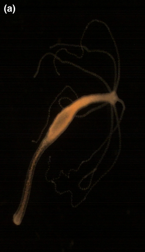
Methods to induce cancer in invertebrates In this review, Dujon et al. examine how tumours can be induced in invertebrates to use them as experimental models to study the effects of cancer on the ecology and evolution of species. They identify four main groups of invertebrates (planarian, bivalves, hydra and drosophila) in which such inductions are performed, then review the types and effectiveness of the methods employed to induce tumours in those groups. They also provide recommendations to facilitate the development of new invertebrate models.

Drones in restoration ecology Drones (i.e., unmanned aerial vehicles) are a valuable set of tools in the environmental, forestry, and agriculture sectors; however, there has been limited uptake in restoration ecology. Here, Robinson et al. aim to highlight the existing and emerging uses of drones in restoration science and practice. They discuss the strengths and weaknesses of these applications and provide a roadmap for increasing the utilisation of drones to refine and enhance restoration objectives.
Rpadrino Integral projection models (IPMs) have become a popular method for studying populations structured by continuously distributed traits (e.g. height, weight). Databases of discrete time, discrete state structured population models, for example DATLife (life tables) and COMPADRE & COMADRE (matrix population models), have made quantitative syntheses straightforward to implement. Here, Levin et al. describe a novel framework to quickly reconstruct these models for subsequent analyses using Rpadrino R package, which serves as an interface to PADRINO, a new database of IPMs.

Measuring understory vegetation structure Most ecological studies of vegetation structure have relied on manual field measurements that are labour-intensive and time-consuming. Many current alternatives to classical measurements are expensive or difficult to transport to field settings. Here, Gorczynski & Beaudrot evaluate a new method for measuring understory vegetation with a novel mixed-reality, remote sensing device, the Microsoft HoloLens and a vegetation sensing application called VegSense that allows the HoloLens user to control the device’s environmental scanners to measure understory vegetation.

Hypothesis synthesis and conceptual model development Conceptual models are necessary to synthesise what is known about a topic, identify gaps in knowledge and improve understanding. The process of developing conceptual models that summarize the literature using ad hoc approaches has high potential to be incomplete due to the challenges of tracking information and hypotheses across the literature. Here, Grames et al. present a novel, systematic approach to conceptual model development through qualitative synthesis and graphical analysis of hypotheses already present in the scientific literature.
The Receiver Station on the Cover

This month’s cover image shows one of several ATLAS receiver stations that have been established on the intertidal mudflats of the Dutch Wadden Sea. A suite of these receivers are used to track ATLAS-tagged shorebirds within the region, especially on the Griend mudflat. This style of receiver is unique to the Wadden Sea ATLAS system (also known as WATLAS), as it must withstand regular flooding with the tide, as shown in the image. On the scaffold are three batteries (covered with blue waterproof material in the image), four solar panels and a wind turbine. These are all connected to a computer and radio system which are situated within a waterproof box and a radio antenna which extends approximately 9m above the mudflat. Multiple ATLAS systems have now been established worldwide. In their article, Beardsworth et al. present their study investigating the efficacy of ATLAS, using the Wadden Sea system as an example. They classify the accuracy of location estimates for particular routes and sites on the mudflat, as well as examining the effectiveness of ATLAS in localising wild shorebirds (red knots, Calidris canutus islandica). Image credit: ©Eddo Hartmann Photography
