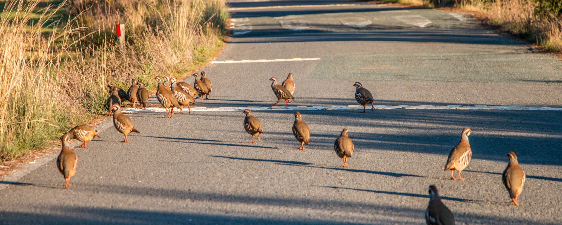
Post provided by Guillermo Gomez-Peña
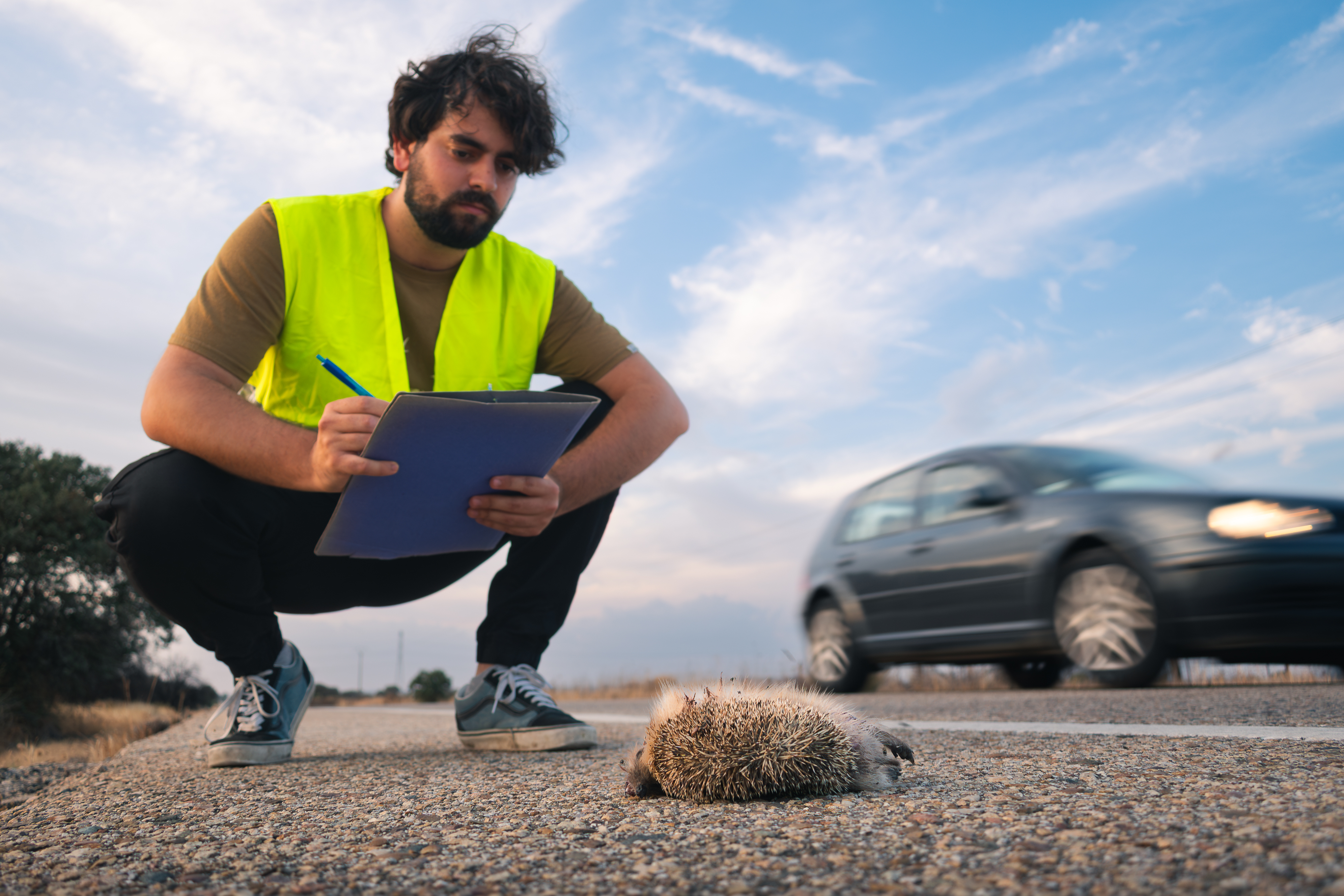
Roads, power lines and wind turbines kill an enormous number of animals every year. To measure this, researchers go out and count the carcasses we find along these infrastructures. Whatever the infrastructure, however, we are only able to record the animals we can find, which is far fewer than the number that actually die.
Researchers have long known these counts were incomplete and, focusing on roads, (the most well-studied infrastructure type) our new paper set out to measure how many animals actually die due to collisions.
The reason so much goes uncounted comes down to three hidden factors:
- Location. Many animals hit by a vehicle don’t die on the road itself. They might be knocked off by the impact, or stagger away wounded and die out of sight.
- Persistence. Of those that do fall on the road, many vanish before we arrive, eaten by scavengers, crushed by traffic, or washed away by the weather.
- Observation. And of the carcasses that remain, we simply miss some, depending on how we survey and how sharp our eyes are that day.
We developed a hierarchical Bayesian modelling framework that, starting from what we observe, infers the actual number of roadkills. In it, each of the three factors above is represented as its own probability: a location probability (that a roadkilled animal ends up on the road), a persistence probability (that its carcass is still there when we do the survey), and an observation probability (that we detect it given that it is there). We estimated each of them from dedicated literature and fieldwork data. The model then treats each observed count as the true number of roadkills thinned by these three probabilities in sequence, so recovering that true number is a matter of inverting the process. And because every level sits within the same Bayesian framework, the uncertainty in each probability propagates all the way through, so the final output is not a single value but a full posterior distribution, which we summarise as a credible interval for the actual mortality.
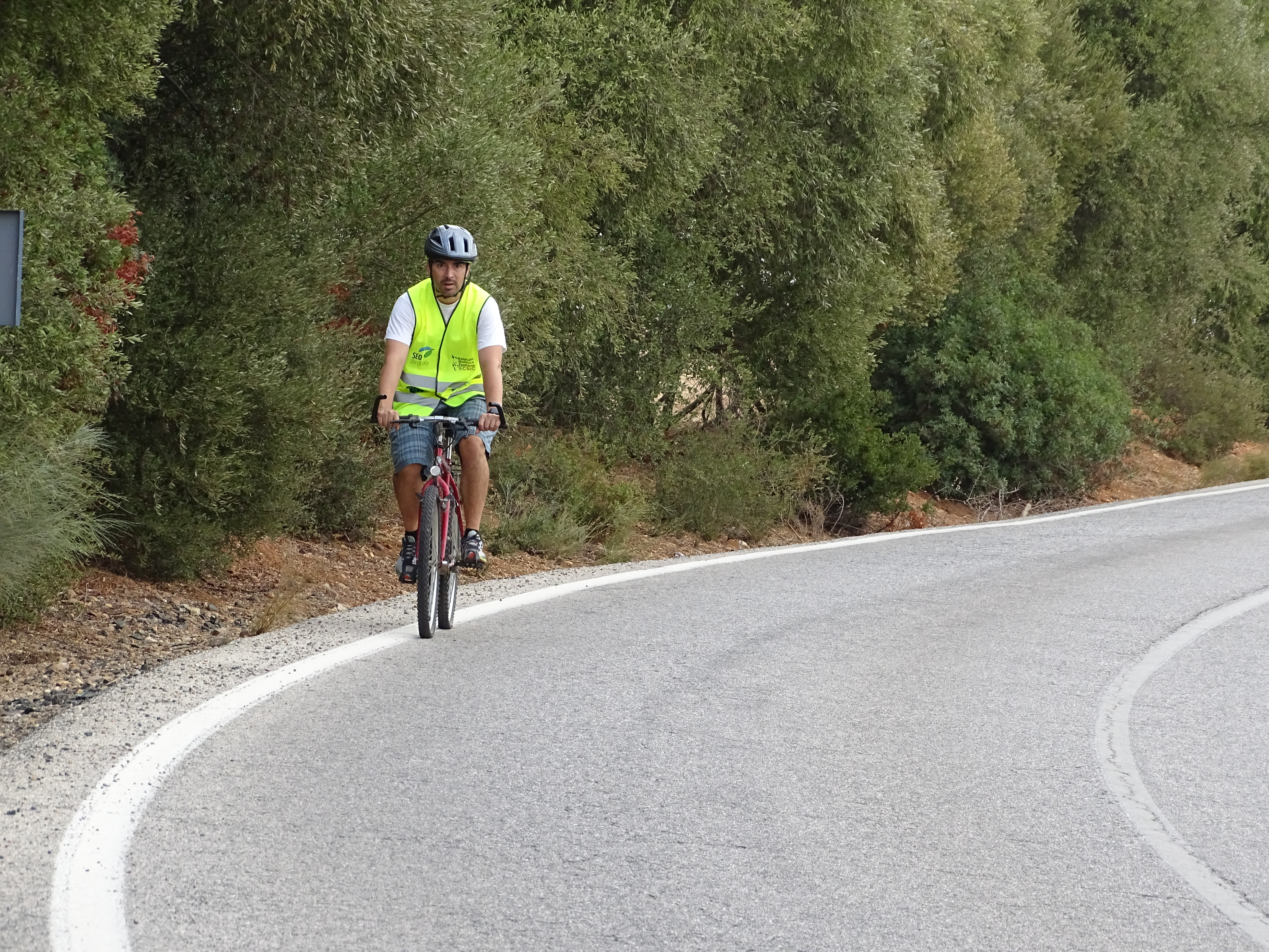
To feed the model, we surveyed roads around Doñana National Park, Andalusia on foot, by bike and by car, as part of the SAFE project. Comparing the three methods gave us a bonus finding: walking and cycling beat driving hands down, and, more interestingly, they don’t detect the same animals. Each method catches carcasses the others miss, so they work best together.
And the headline result? The estimated number of roadkills was between 2 and 14 times higher than what we recorded. For example, in small passerines the difference was striking: we observed about 8 per kilometre, but the model estimated nearly 49 per kilometre once the hidden mortality was accounted for.
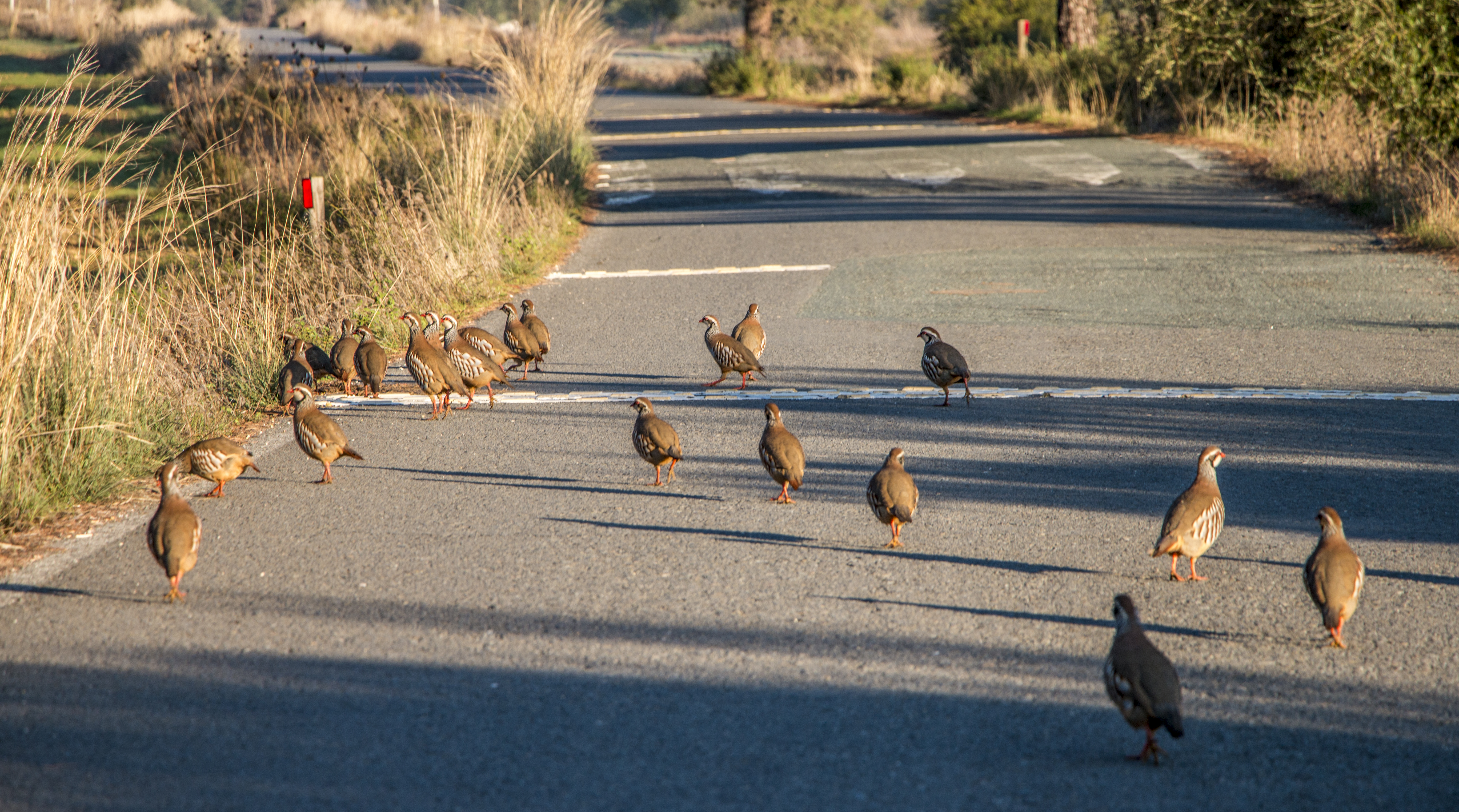
Why does this matter? If road deaths are being undercounted by up to fourteen times, then we are also underestimating how much of a threat roads are to wildlife, and we may be missing which species are most at risk. The same three filters should affect surveys along power lines and wind farms too, indicating more hidden mortalities.
We designed the framework to be reused. It comes with a checklist to tell you when the estimates are trustworthy and when they should be read only as a relative index, and all the data and code are openly available on Zenodo. Our hope is that others will pick it up, apply it to their own roads or other infrastructure, and start counting the animals we have all been missing.
About the author
Guillermo Gómez-Peña is a PhD student at the Estación Biológica de Doñana (EBD-CSIC), where this work began as his Master’s thesis within the SAFE project. You can find him on Linkedin / ResearchGate.
Read the full paper here.

